mazowieckie, nowodworski, Zakroczym
4 190 000 zł
85 zł/m2
Investment plot for sell - 49 316.00 sqm
- Single-family housing (house)
- Recreation
Legal status
Media
- availability: On the plot
- availability: No
- availability: On the plot
- availability: Possibility of connection
- type: city
- availability:
Access road
Description
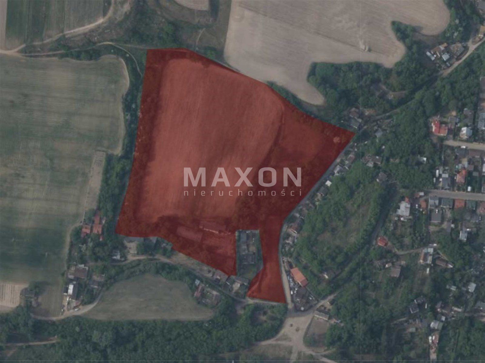
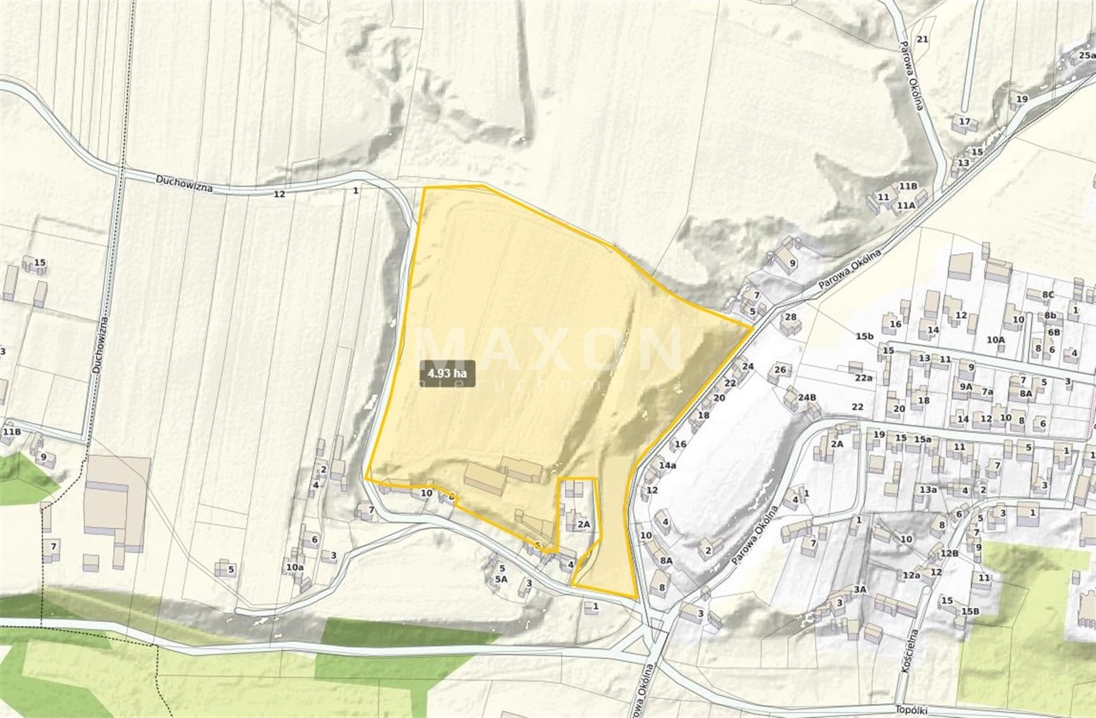
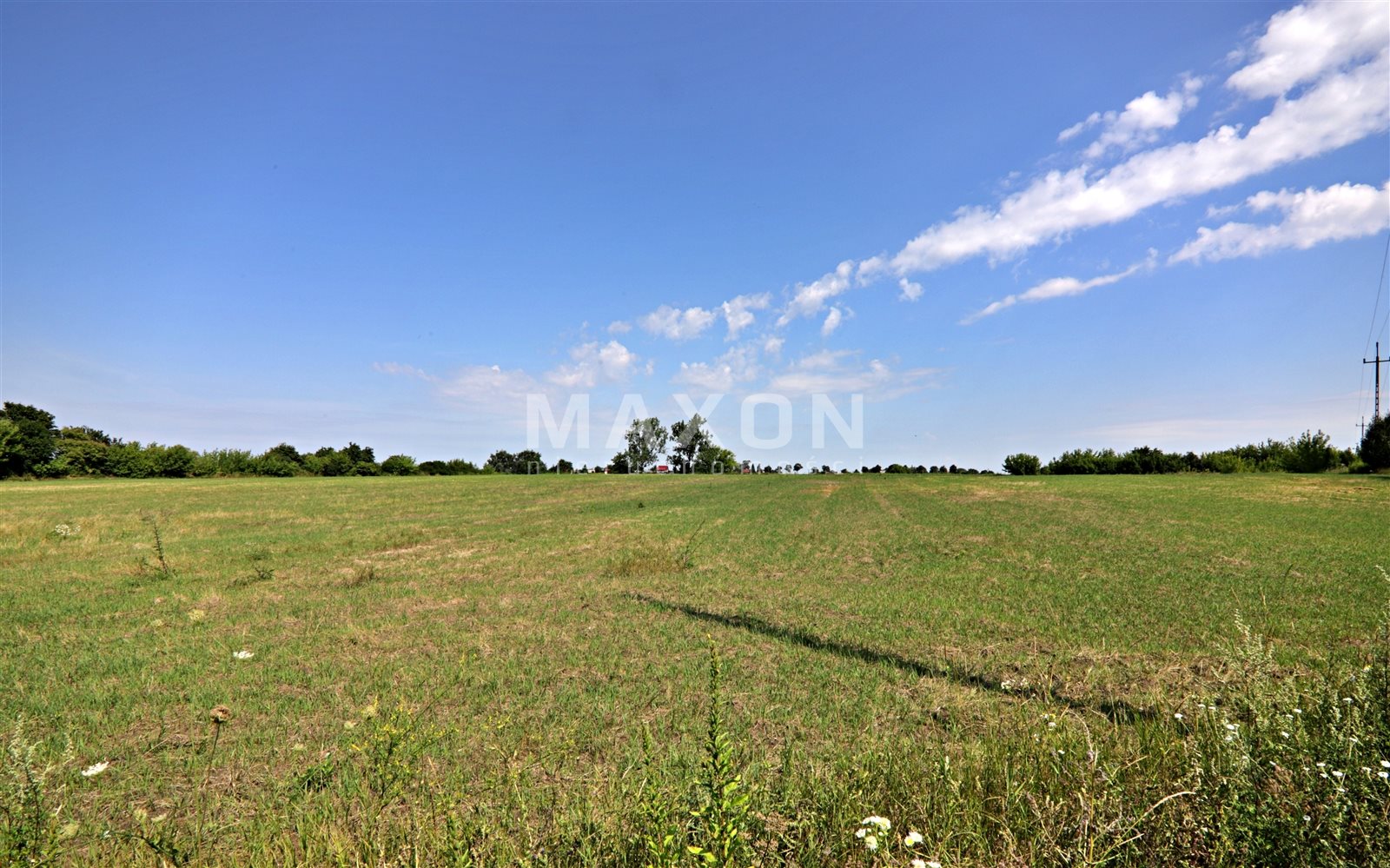
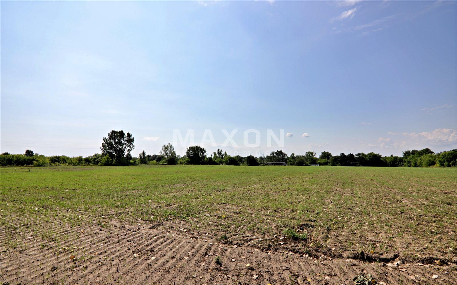
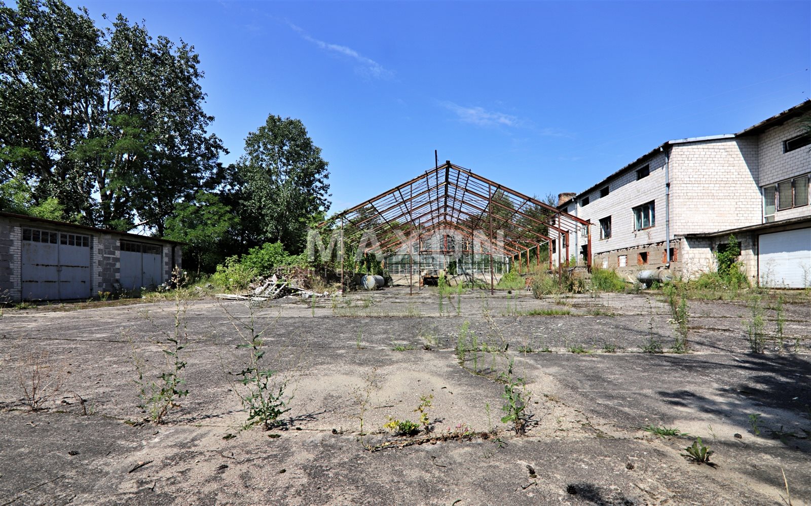
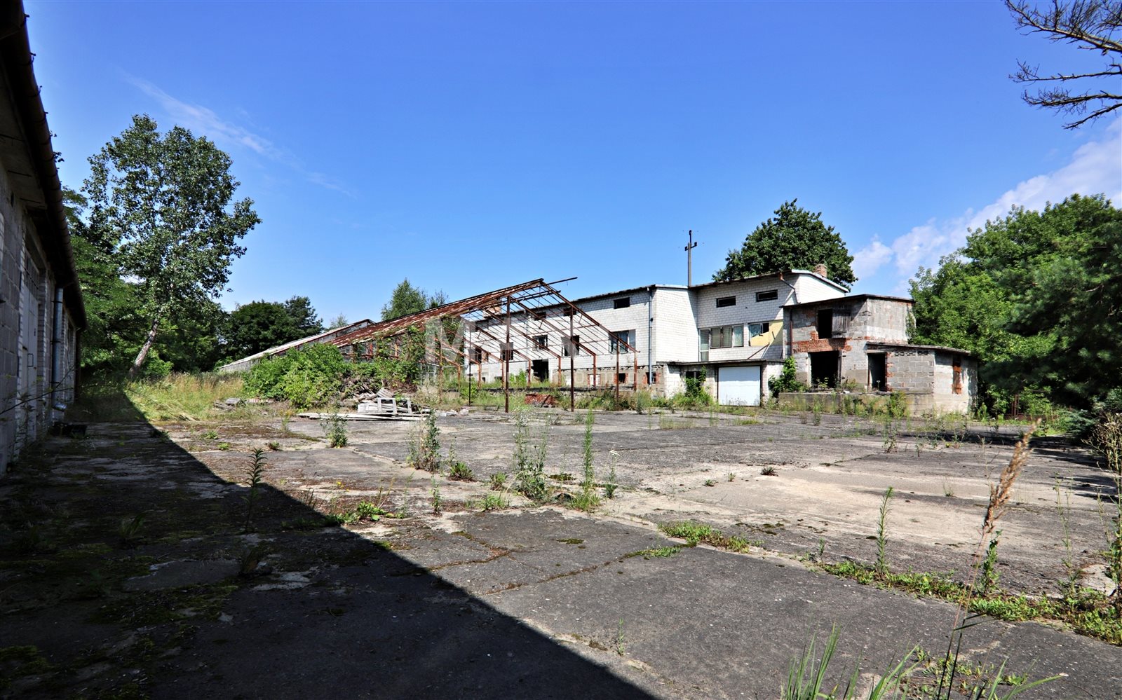
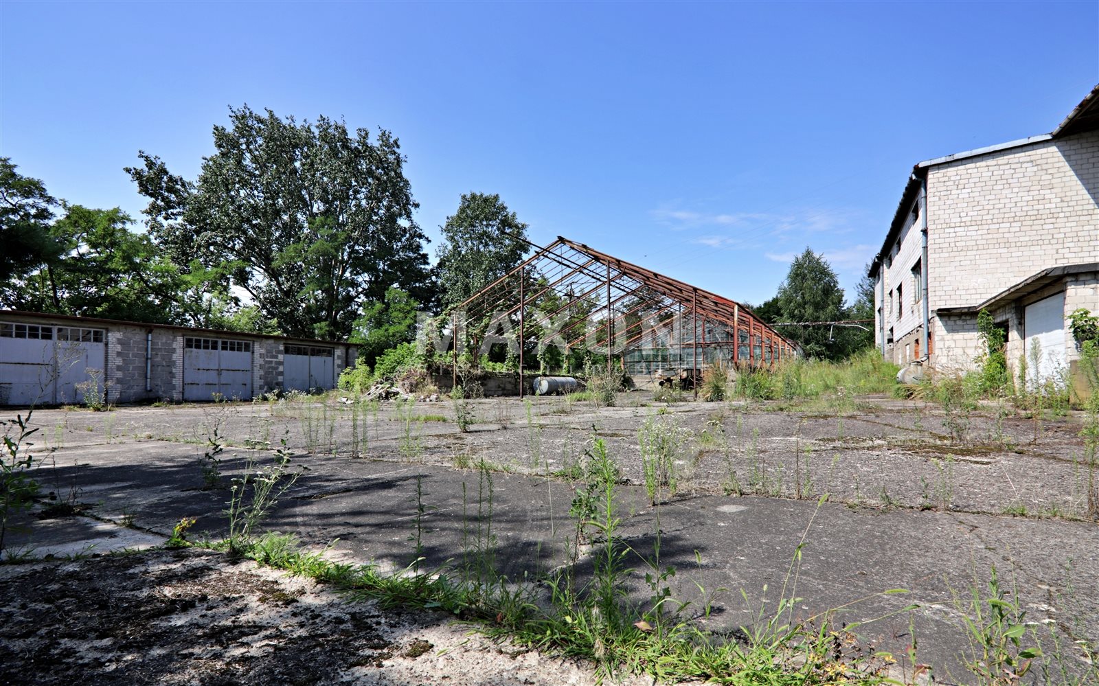
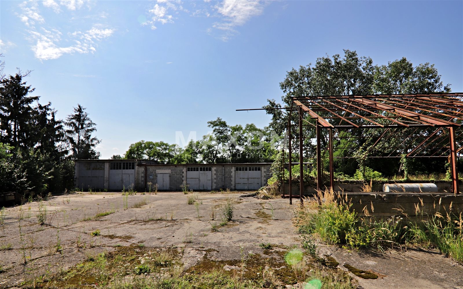
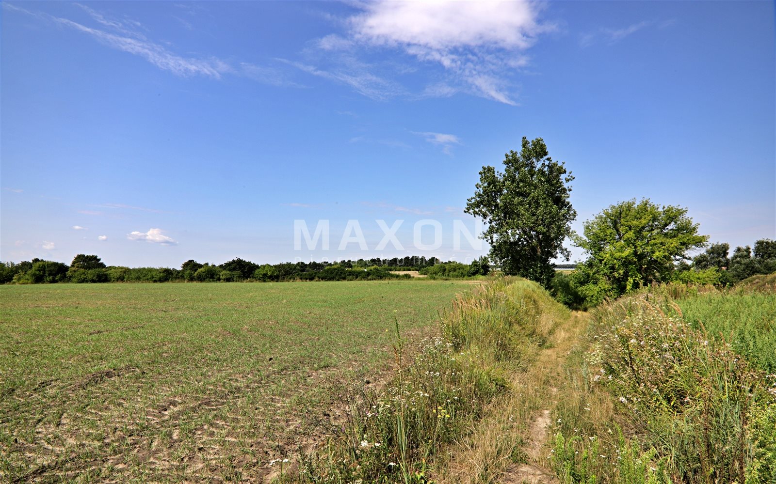
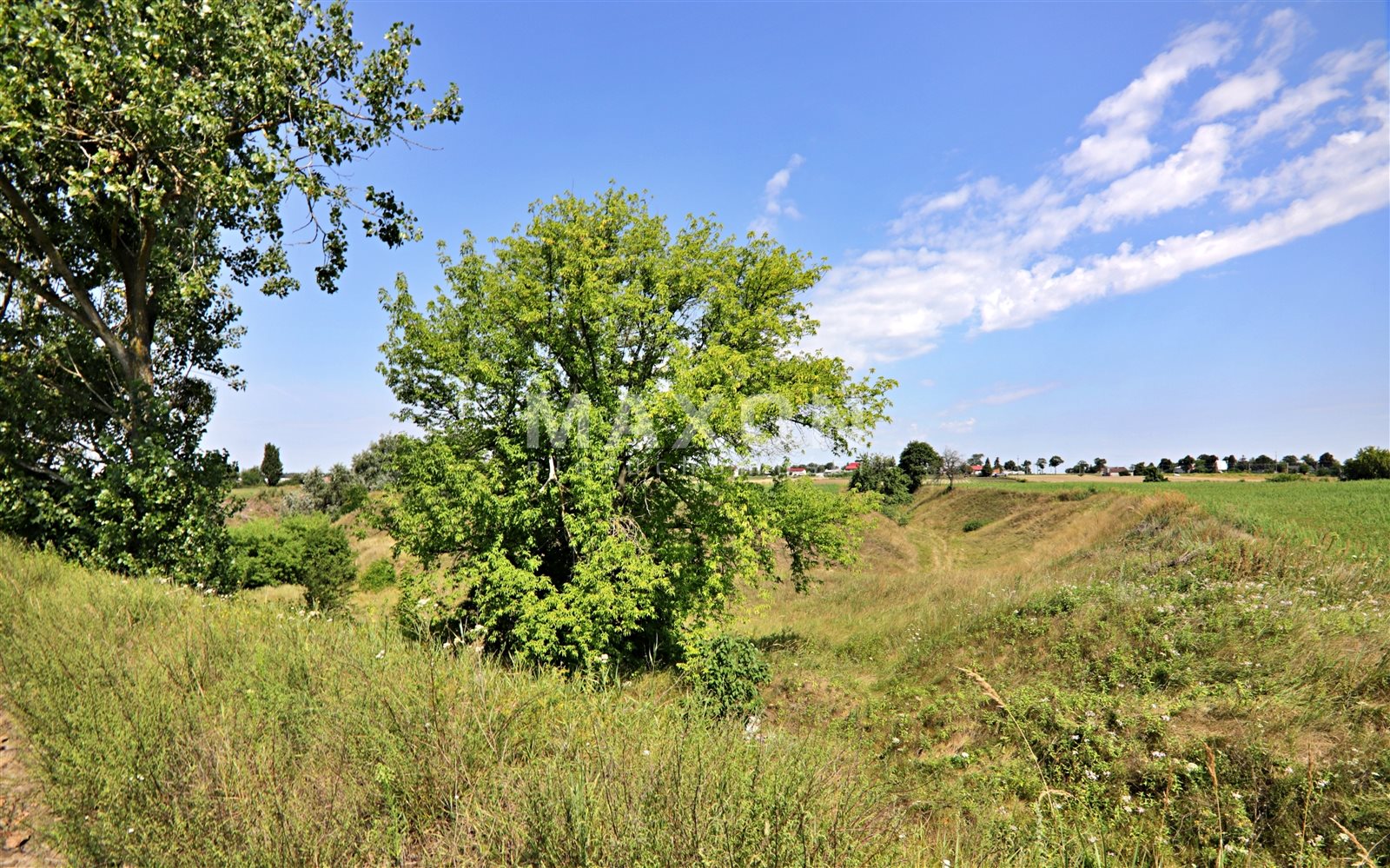
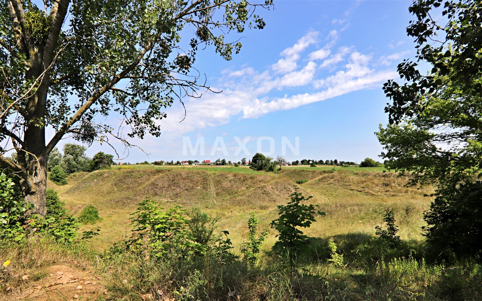
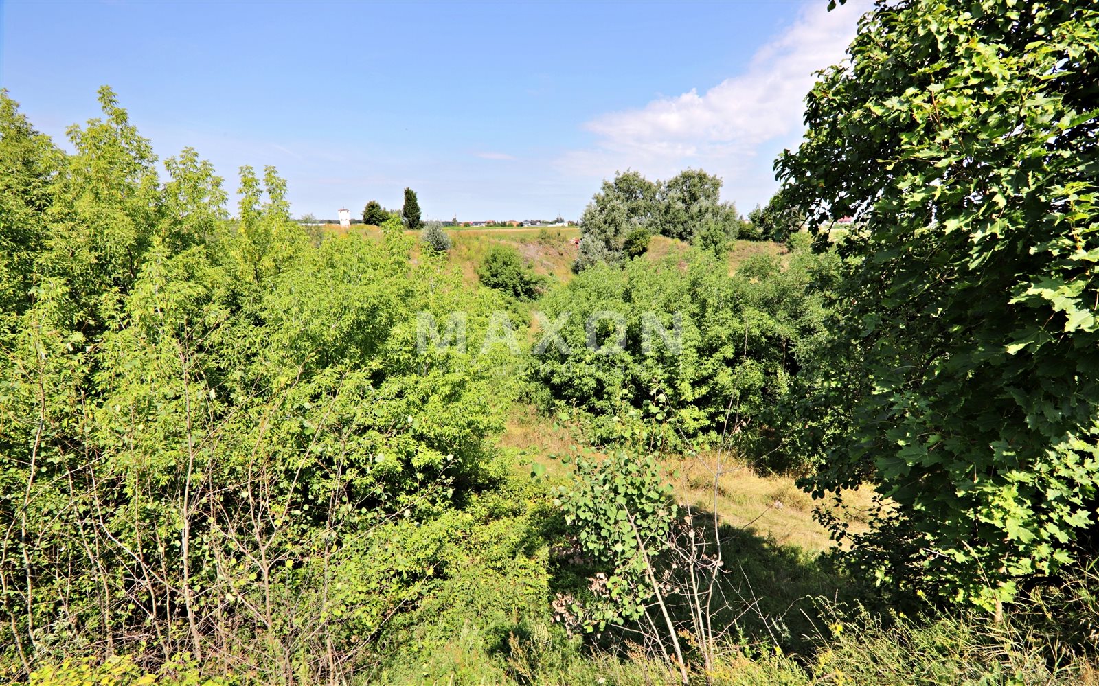
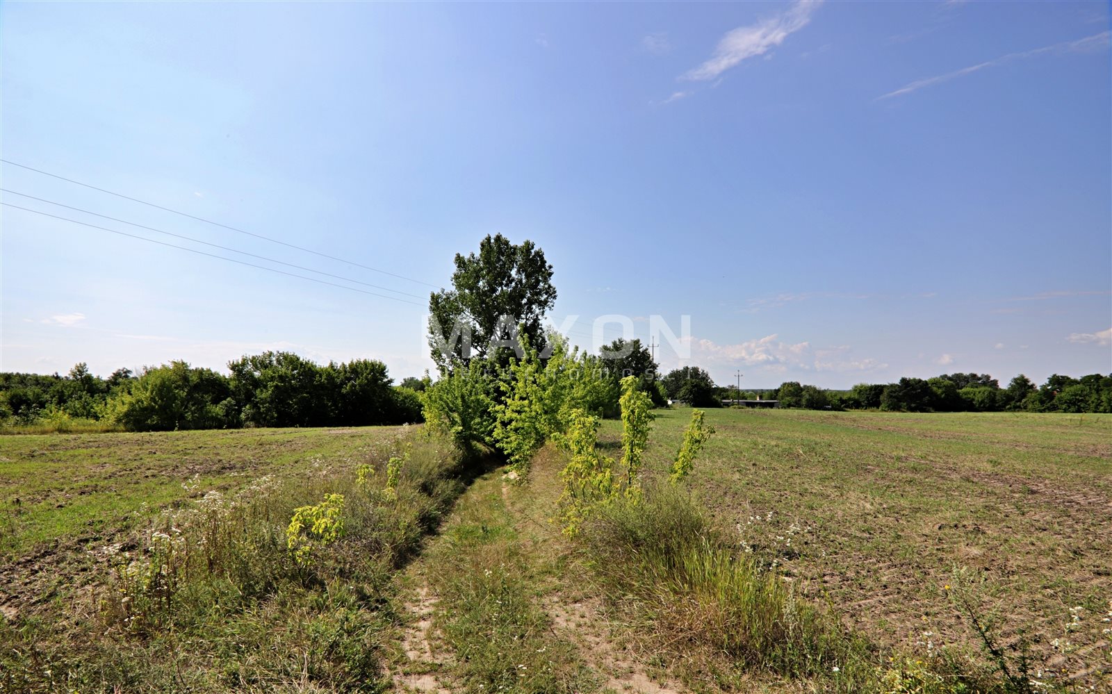
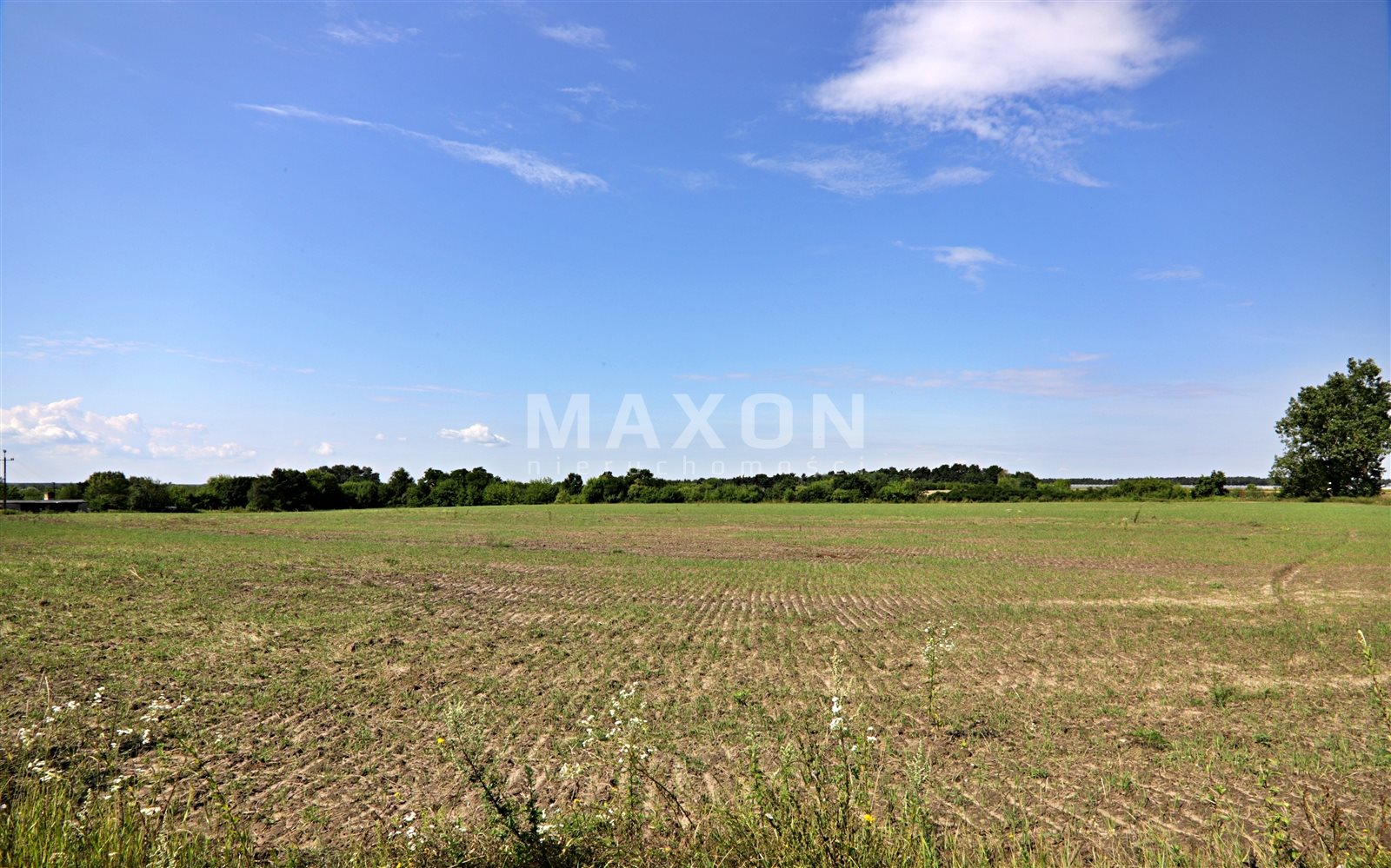
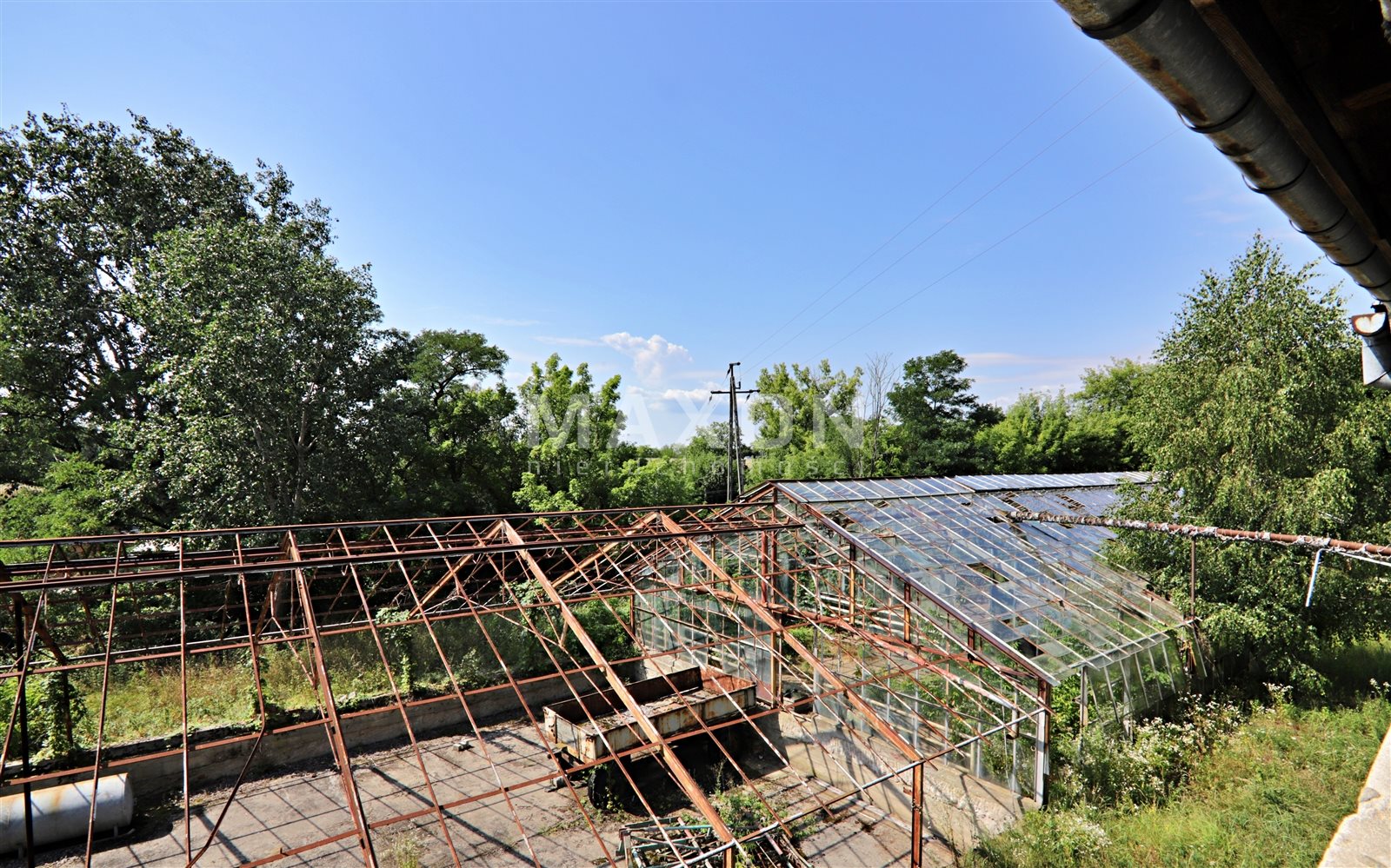
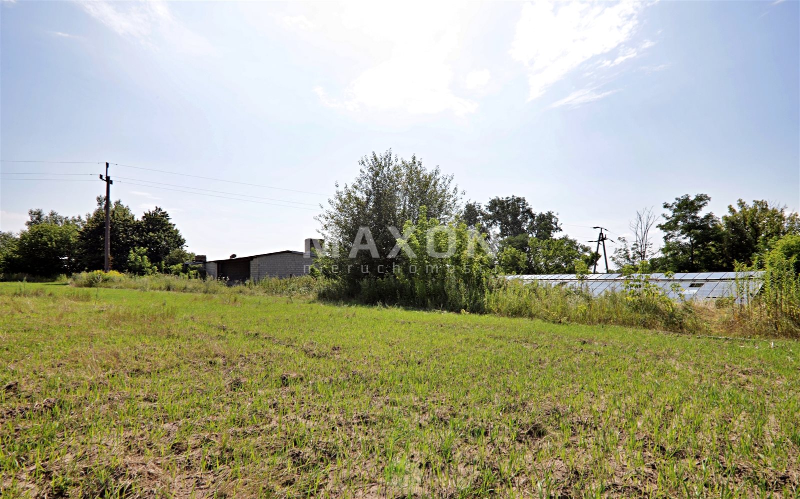
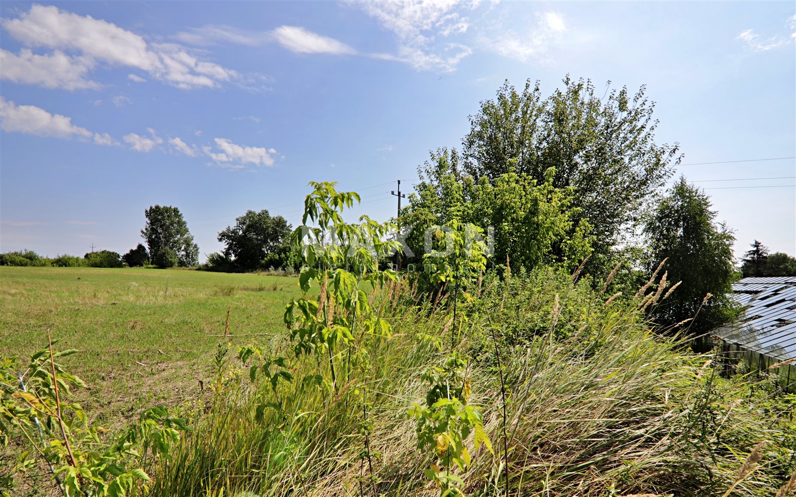
The offered investment land with an area of about 5 hectares is an irregularly shaped and surfaced area, located on an escarpment, with a flat part of about 2.8 hectares. Surrounding the slope is a ravine, and below the slope are old buildings, including a residential section, greenhouses and garages.
The land is attractive for single-family housing, as evidenced by the current Local Development Plan.
The land is partially developed, with access to electricity and water, which makes it convenient for further development.
Additionally, there is a possibility to use the land for purposes other than residential, which gives investment flexibility.
Basic data about the investment land:
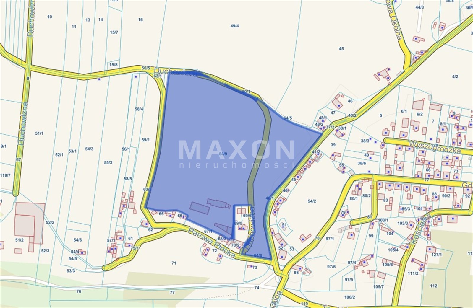
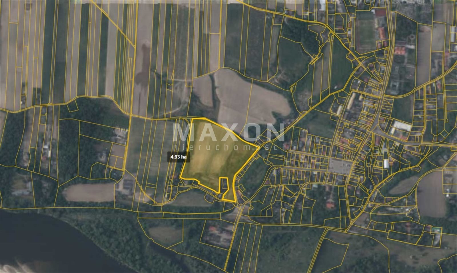
- Location: Mazowieckie Province, Nowodworski County, Zakroczym township,
- Plot ID (Territory): 141406_4.0009,
- Soil Classes: RIVb, RV, Br/RV, RVI, Lzr/RVI, N,
- Media: water and electricity on the plot, sewerage and Internet,
- Land Register: there is, no encumbrance,
- Pending Administrative Proceedings: none,
- Communication Access: PKP, PLK, bus,
- Access: communal road,
- Road type: asphalt.
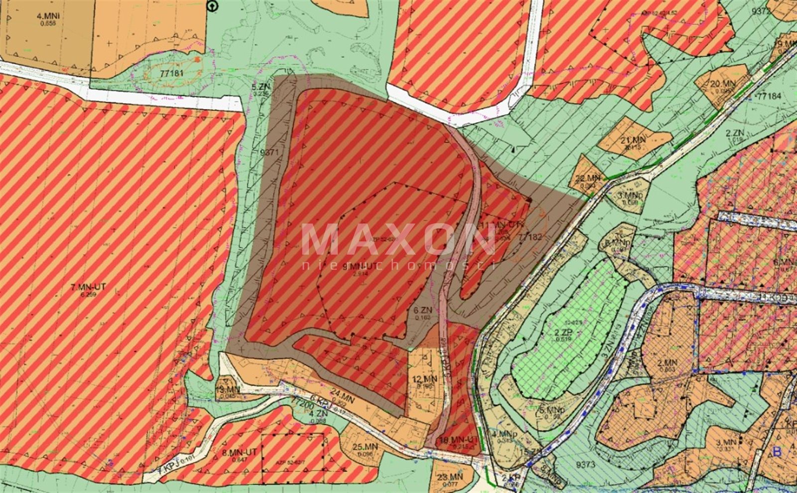
Planning status:
- MPZP Resolution No. XXXVII/336/2021 OF THE MUNICIPAL COUNCIL IN ZAKROCZYMIU dated June 24, 2021,
- Designation in the plan "9.MN-UT", "10.MN-UT", "11.MN-UT" and "6.ZN",
- Basic designation "MN-UT": area of single-family residential development with equivalent development of tourism services,
- It is allowed to locate buildings with the following functions: residential, residential-service and service functions,
- Designation "ZN": area of natural greenery.
Boundaries and ways of development of areas or objects subject to protection, established under separate regulations, as well as areas of special flood hazard and areas of landslides:
- on the area "9.MN-UT", "10.MN-UT" and "11.MN-UT" is located in the landslide buffer zone, within its range restrictions on land development apply in accordance with separate regulations,
- the area "11.MN-UT" is partly located in the area threatened by mass movements, within its range restrictions on land development apply in accordance with separate regulations,
- the area "10.MN-UT" is partly located in an area where the probability of flooding is low and is once in 500 years or where there is a probability of an extreme event, within its range arrangements in accordance with separate regulations apply, and high greenery plantings are prohibited.
Location
Don't hesitate to contact us
Zainteresowała Cię nasza oferta lub szukasz podobnej nieruchomości? Zapraszamy do kontaktu!