Mszczonów, Badowo-Dańki, 4.33 ha
mazowieckie, żyrardowski, Mszczonów, Badowo-Dańki
9 093 000 zł
210 zł/m2
Land for sell
Basic
Legal status
Media
Description
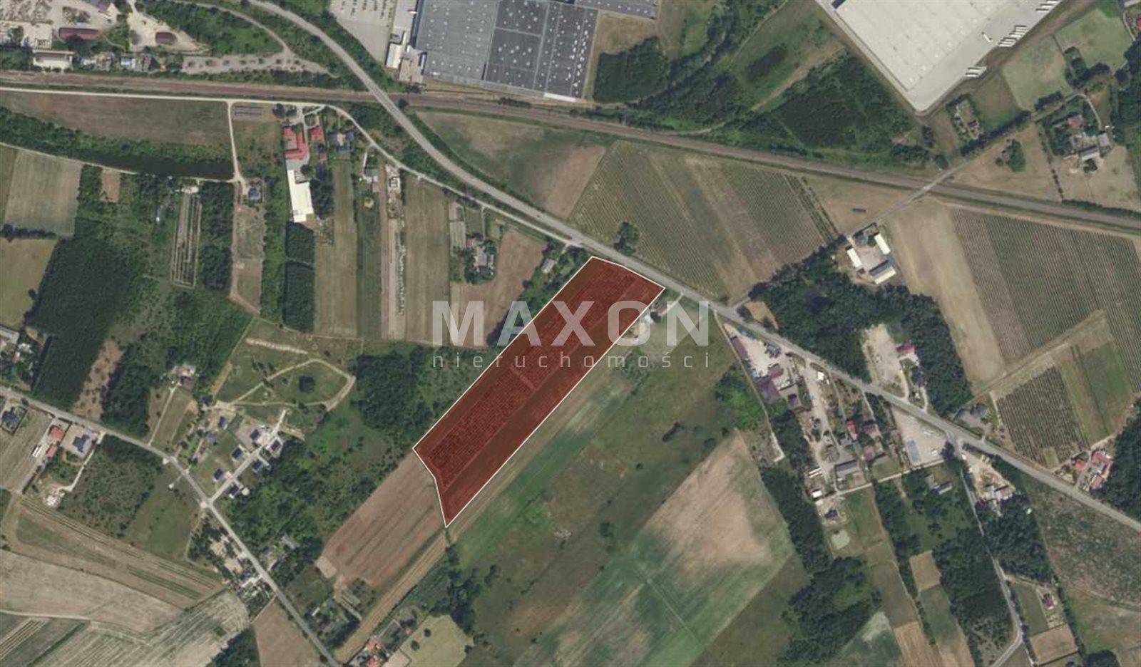
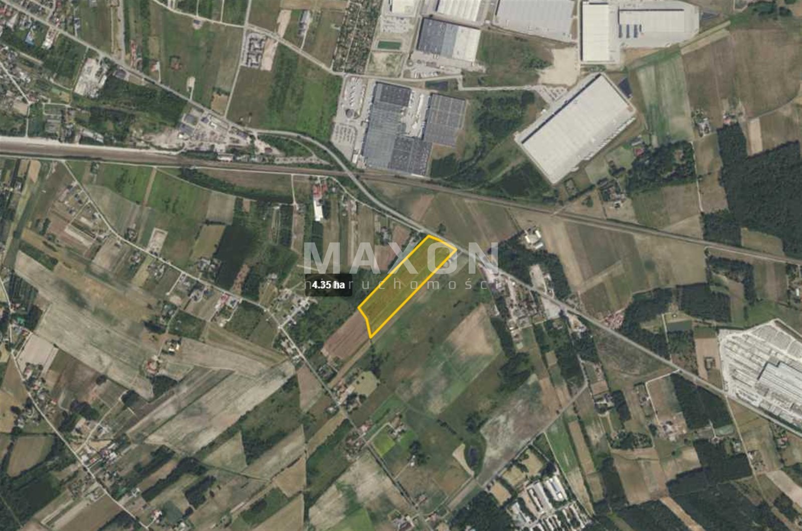
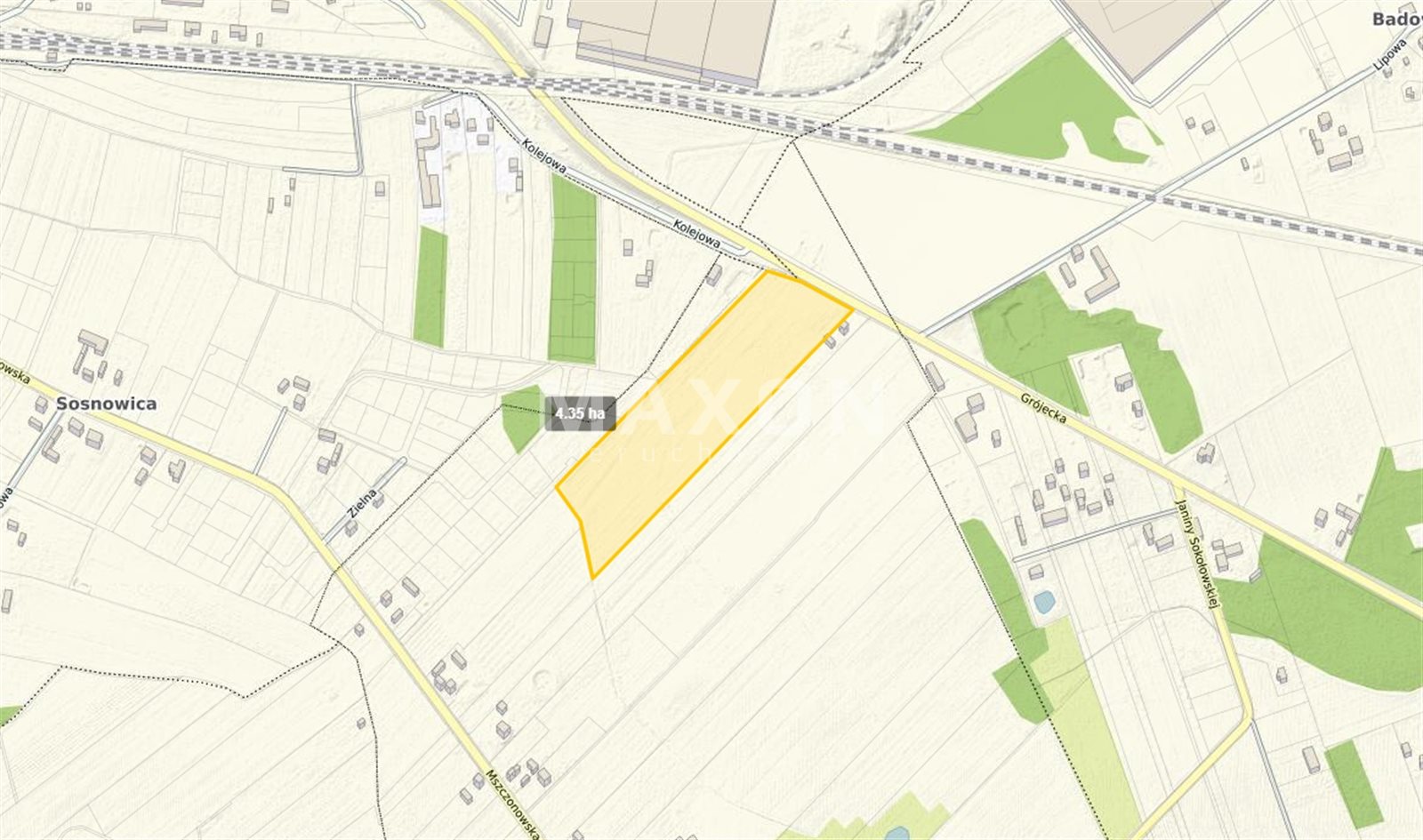
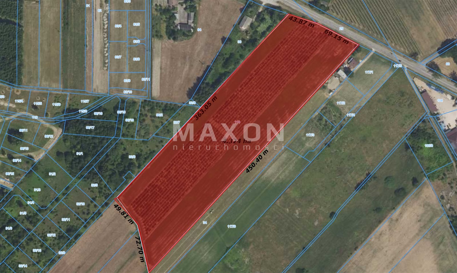
I am pleased to present an offer to sell a spacious 4.33-hectare plot of land located in the village of Badowo-Dańki, in the municipality of Mszczonów, Żyrardów County.
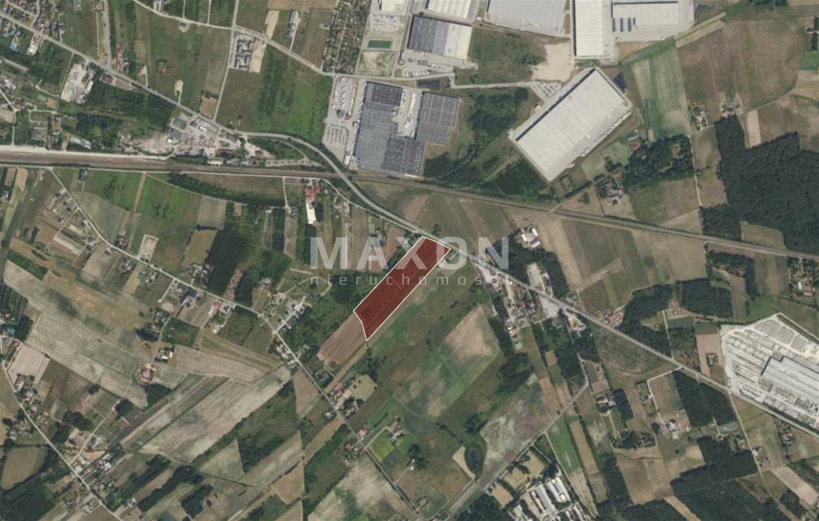
The property is located just 3 km from the center of Mszczonów and approximately 43 km from Warsaw. This is an ideal opportunity for those seeking a place for an investment or a peaceful life away from the hustle and bustle of the city, without sacrificing convenient access to a full range of amenities.
The property is covered by the local zoning plan and designated for farmstead development, which allows for the construction of a homestead—a residential house along with farm buildings. The property’s large area offers extensive possibilities for both private individuals and investors planning to establish a farm.
The plot is currently undergoing the process of amending the local zoning plan (MPZP) and adopting the General Plan, in accordance with document No. VII/47/24 dated September 25, 2024.
According to the new planning provisions, this area falls within two functional zones:
- Service Zone (SU). The primary use includes service and transportation areas. Supplementary uses are also permitted, such as storage and warehouse areas, as well as areas designated for solar power plants.
- Economic Zone (SP). The primary use of this zone includes production and service areas. The plan allows for the preservation of existing farm buildings or the construction of new ones of this type.
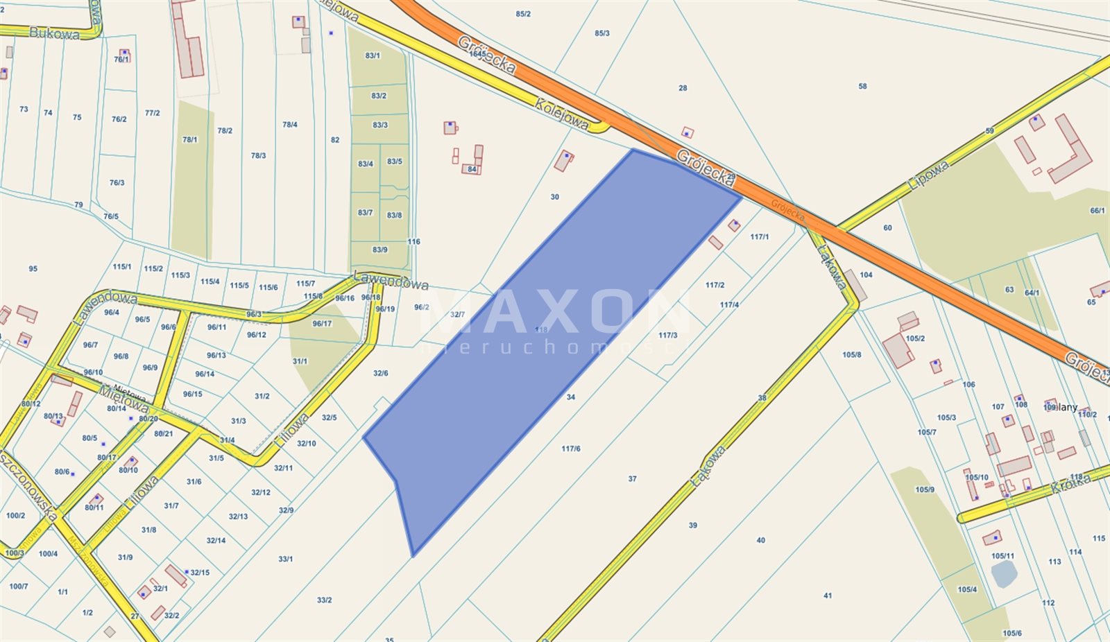
The land is flat, well-sunlit, partially vegetated, and has access to a public road. The lot has a clear legal status and is registered in the land registry—the sale is free of encumbrances.
The village of Badowo-Dańki is a quiet rural community that is gaining in importance thanks to growing residential, industrial, and service-sector investments being carried out within the municipality of Mszczonów. Nearby attractions include the Mszczonów Thermal Baths, numerous bike paths, walking trails, and a historic 19th-century manor house. The village itself is also home to Folwark Badowo—a venue for training sessions and corporate events—which further enhances the location’s potential.
In just a few minutes, you can reach the center of Mszczonów, where schools, preschools, stores, clinics, pharmacies, and a full range of services are available. Its location near the S8 expressway and National Road No. 50 ensures quick access to Warsaw, Żyrardów, and other major towns.
Basic information about the lot:
- Location: Mazovia Province, Żyrardów County, Mszczonów Municipality, village of Badowo-Dańki,
- Plot ID (Teryt): 143802_5.0003,
- Soil classes: PsIV, RIVa, RIVb, W,
- Utilities: water and electricity on the plot, no sewer service, gas coming soon,
- Land and Mortgage Register (KW): available, no encumbrances,
- Pending administrative proceedings: none,
- Access to public transportation: rail, bus,
- Access: local road,
- Road type: paved.
Planning status:
- Local Spatial Development Plan (MPZP) Resolution No. XXII/153/16 of the Mszczonów City Council dated April 27, 2016,
- Designation in the plan: “1R”,
- Primary land use: agricultural land (fields, meadows, pastures, wooded areas), Area undergoing Local Spatial Development Plan revision.
- Permitted uses: farm buildings; storage buildings for agricultural purposes; transportation, technical infrastructure networks and facilities, environmental protection, and flood protection for the needs of the plot or local needs; small-scale architectural structures; a well-developed network of high-bay warehouses in the vicinity.
- Development unrelated to the operation of a farm, as defined by the provisions of the Civil Code and the Act on the Organization of the Agricultural System, is prohibited. Within the area of restricted development and construction, a ban is established on the construction of buildings intended for human habitation,
- Building setback lines: 8.0 m from the plan boundary (a road located outside the plan boundaries), 6.0 m from the boundary line of the road marked 1KD/L,
- Percentage of maximum building coverage: 30%,
- Minimum percentage of biologically active area: 45%,
- Maximum development intensity: 0.6,
- Maximum building height: 15.0 m, including a maximum building height of 12.0 m; the height of buildings not intended for human occupancy in the area of restricted development and construction is 4.0 m; Maximum height of small architectural structures: 3.0 m,
- Roof geometry: flat or multi-sloped roofs with a slope of up to 40°.
Location
Don't hesitate to contact us
Zainteresowała Cię nasza oferta lub szukasz podobnej nieruchomości? Zapraszamy do kontaktu!
A Unique Plot of Land – Sosnowica, 40 km from Warsaw!
120 zł/sqm
3 800 sqm
Warm A, there is a local zoning plan, single-family housing
42 zł/sqm
8 400 sqm
Radonie: Building lot for a house, 3rd row, 28/5
270 zł/sqm
1 451 sqm