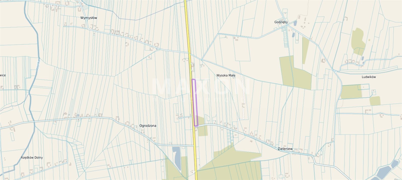
łódzkie, łęczycki, Daszyna, Ogrodzona
440 000 zł
20 zł/m2
Land for sell
Basic
Legal status
Media
Description
2.1664 ha | 21,664 sq m | agricultural land suitable for residential development or agricultural use, with infrastructure in Daszyna–Ogrodzona
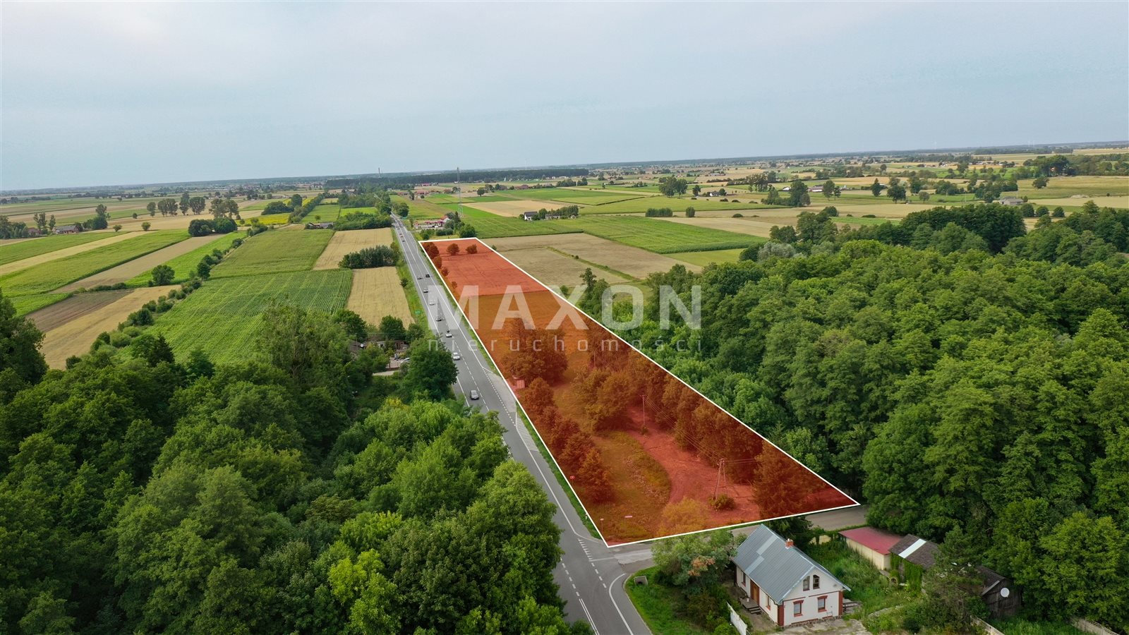
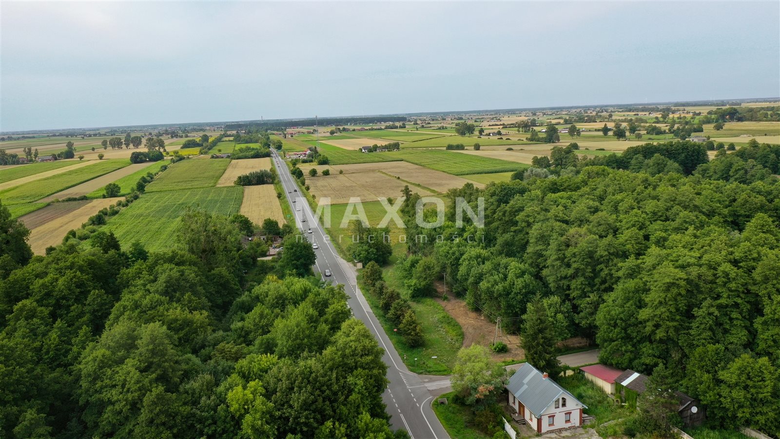
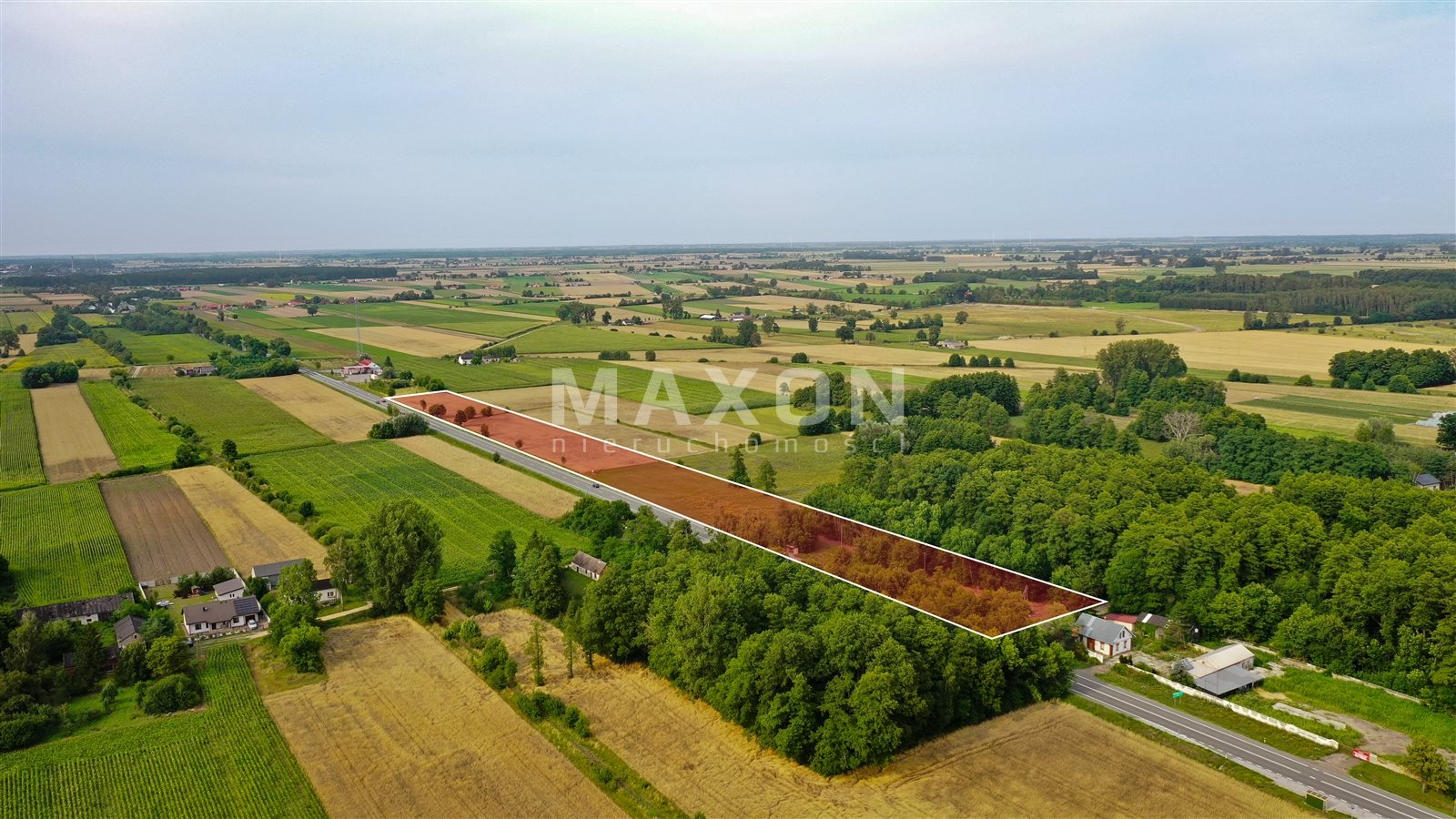
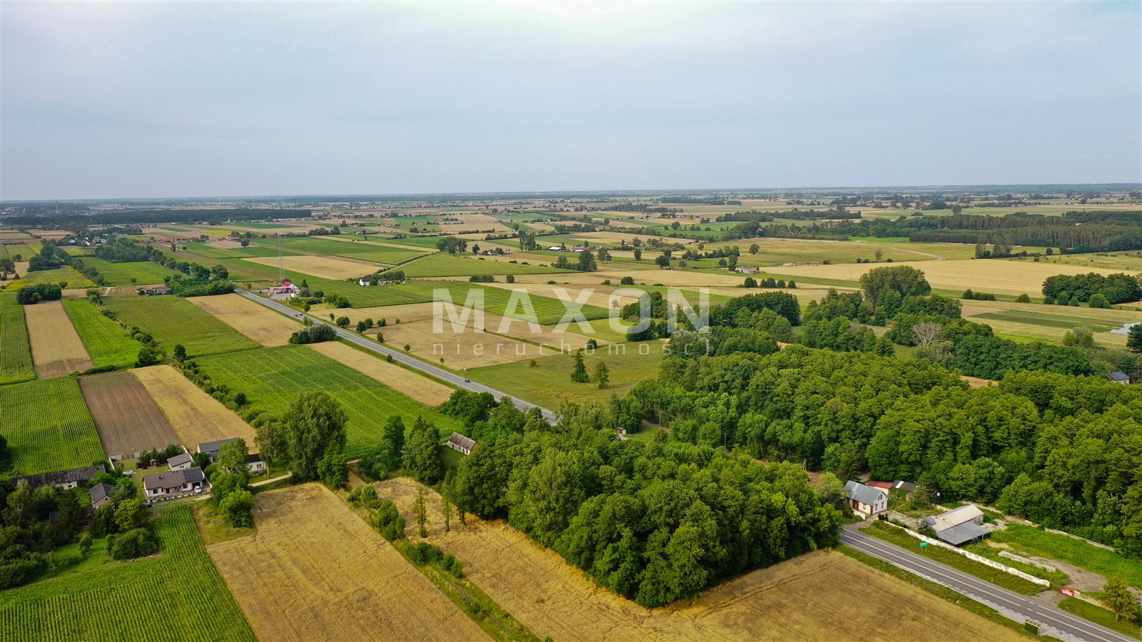
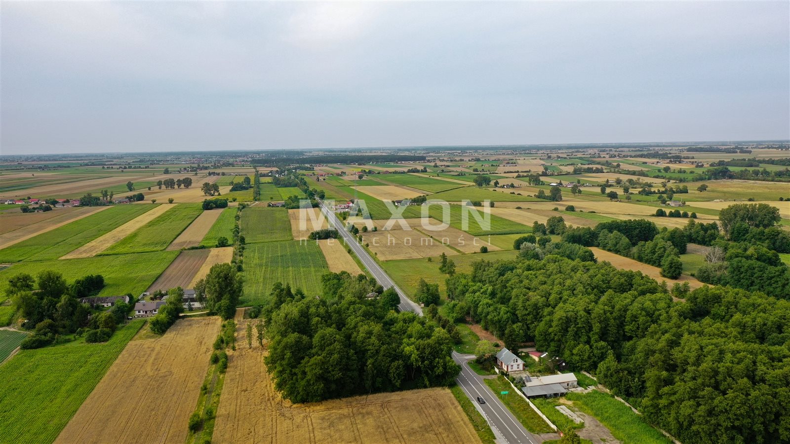
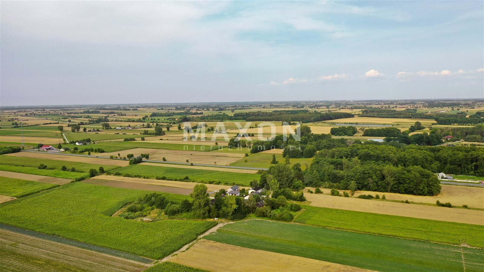
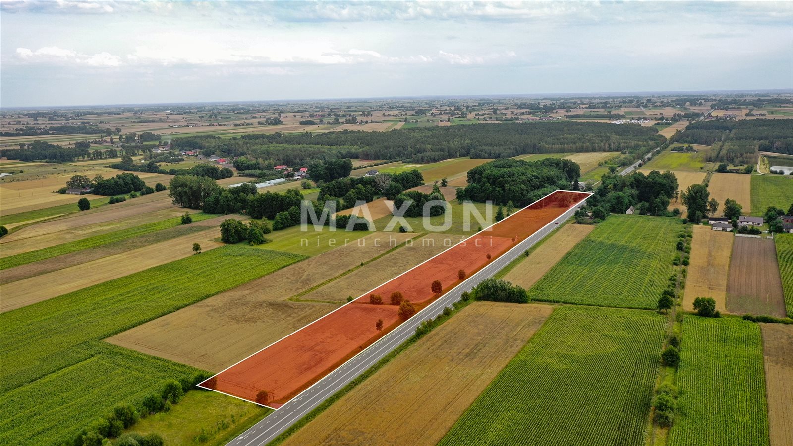
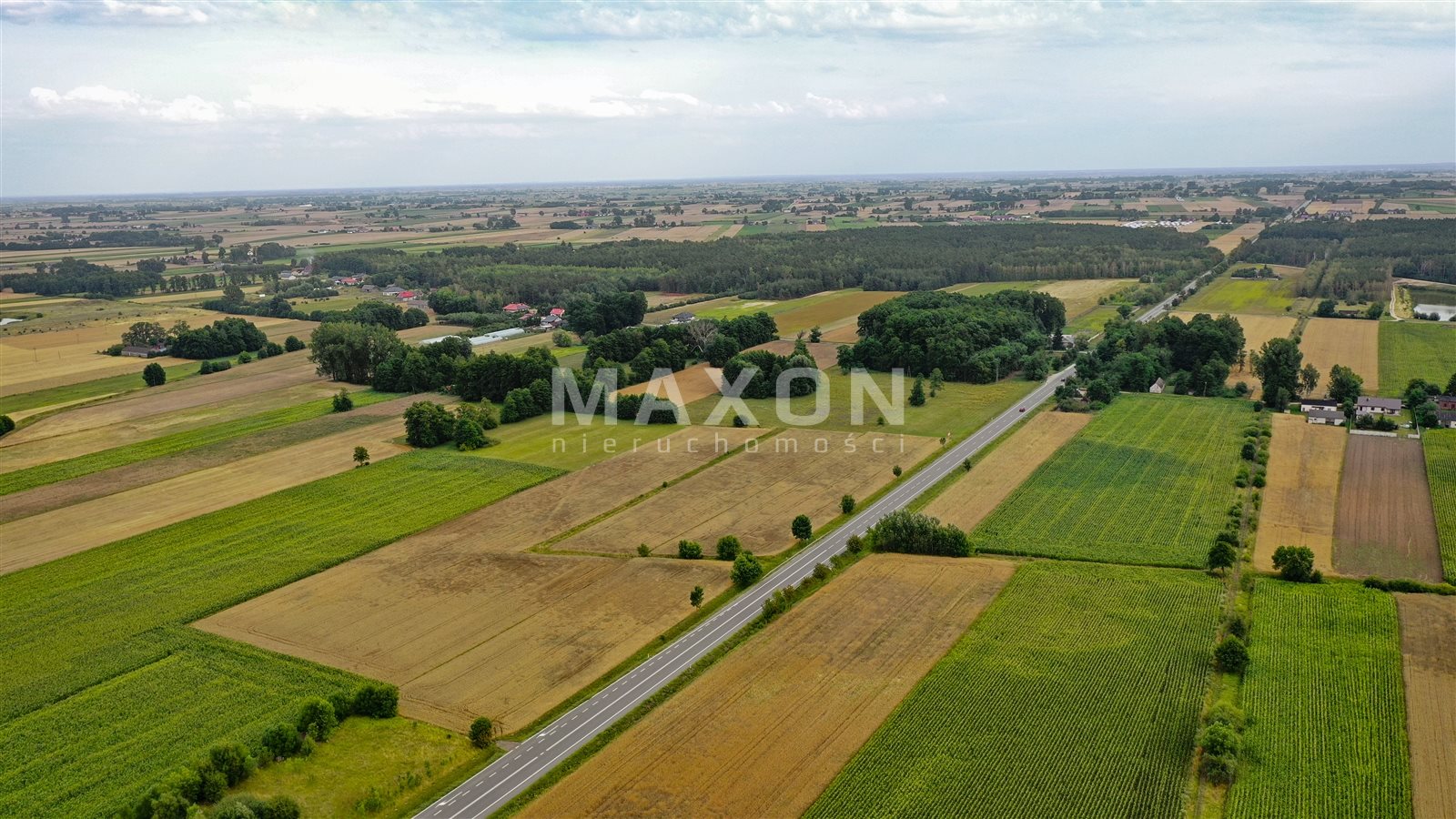
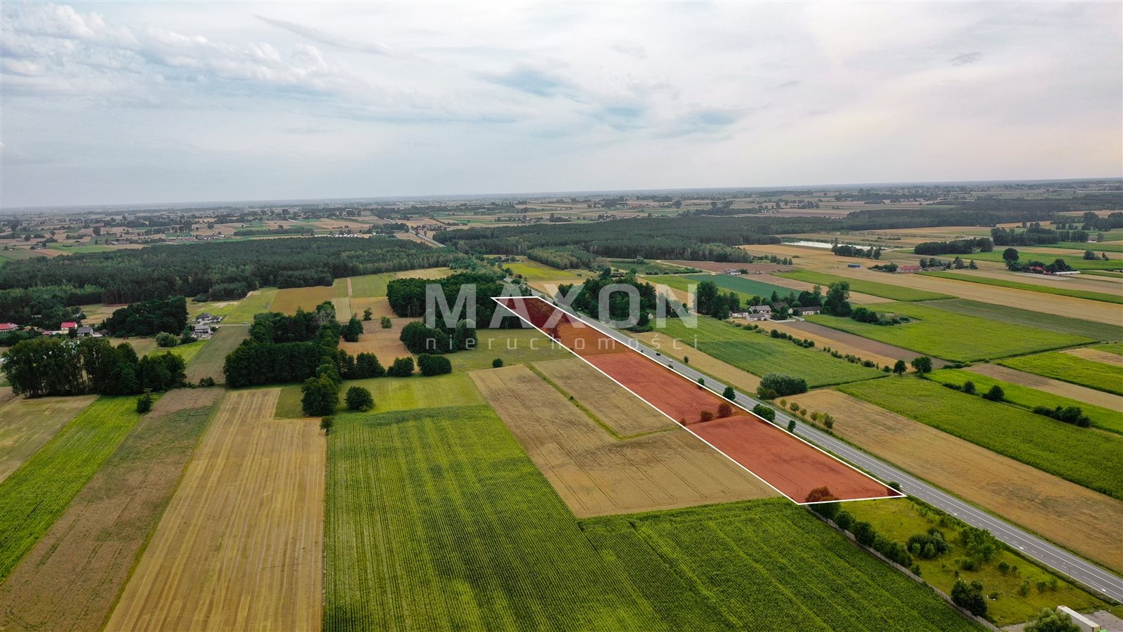
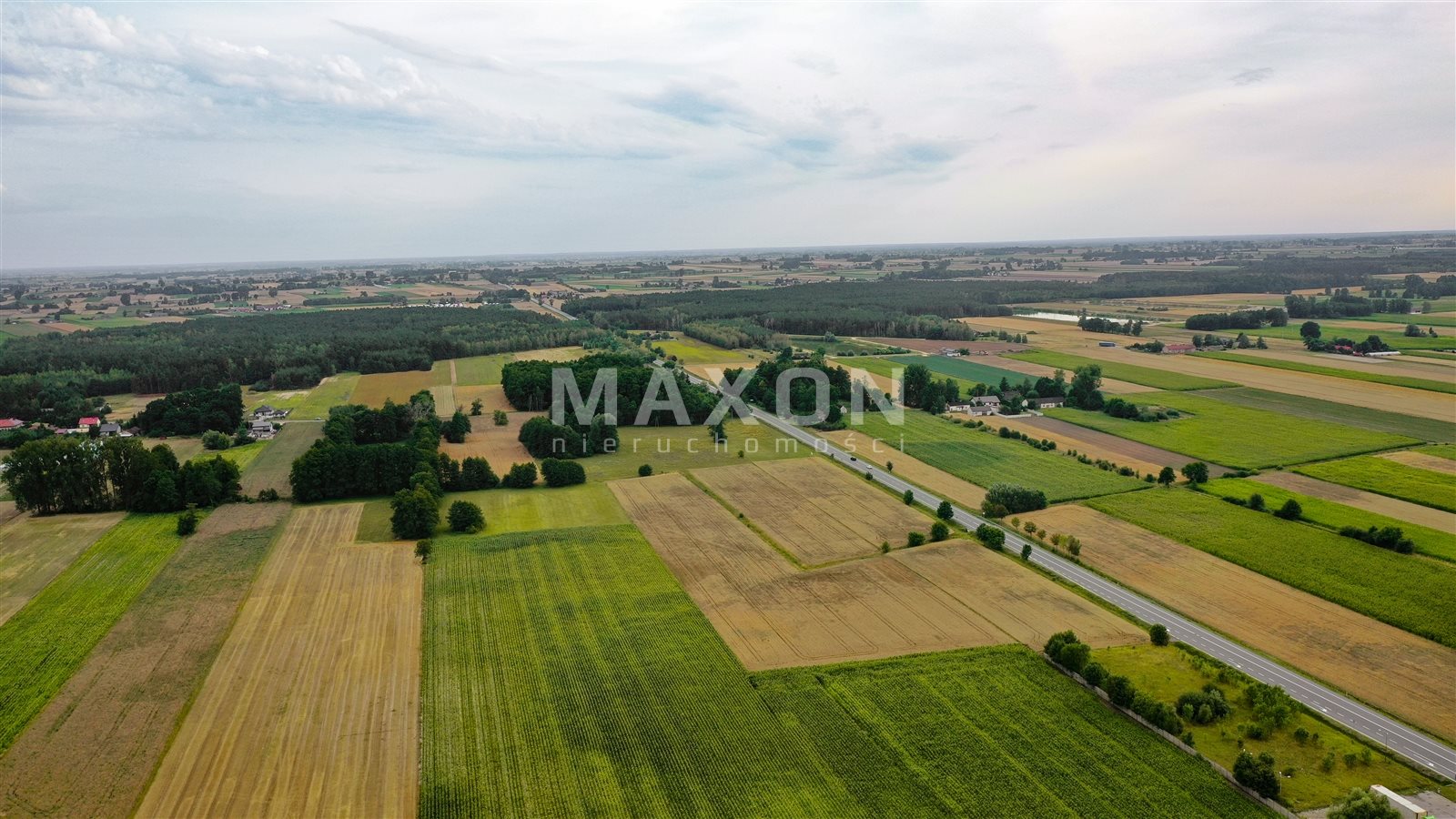
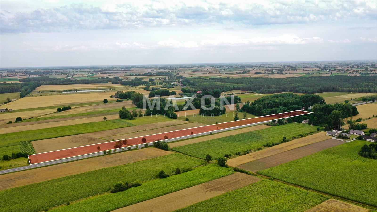
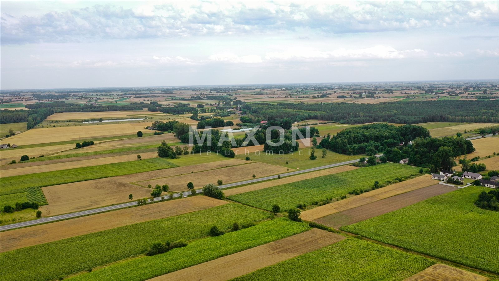
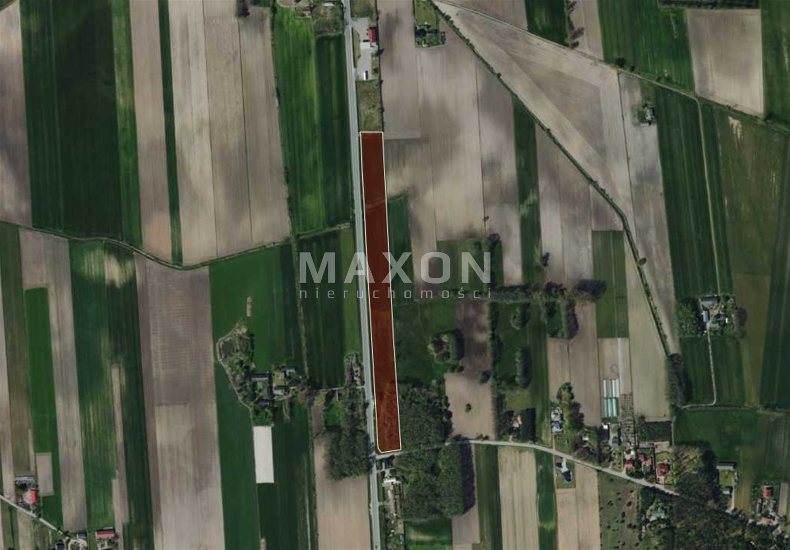
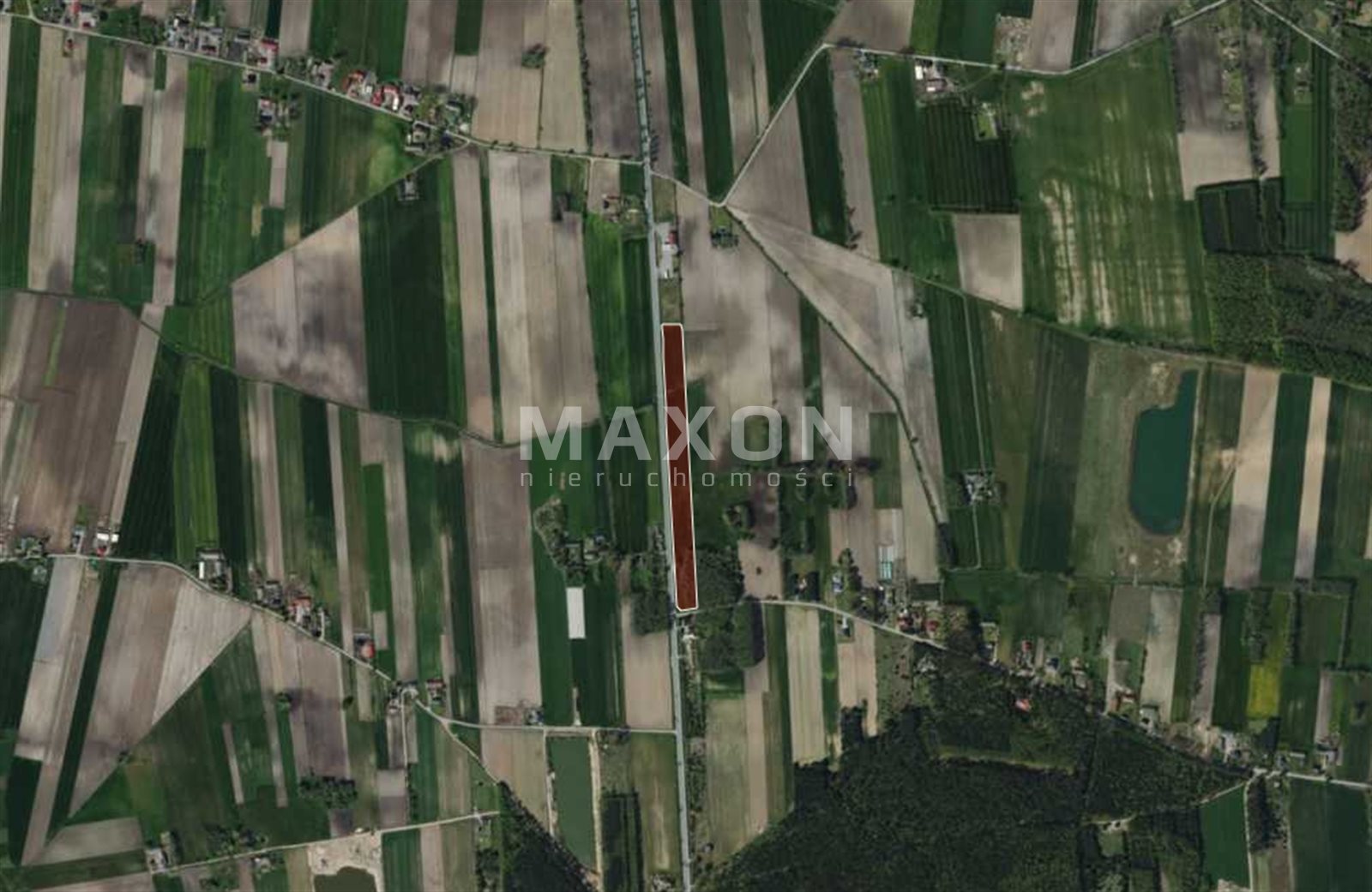
An investment plot with an area of 21,664 sq. m. is for sale, located in the village of Ogrodzona, Daszyna municipality. The property has a regular, elongated shape (approx. 40 running meters wide and 561 running meters long) and direct access to the road.
Basic plot details:
- Location: Łódź Province, Łęczyca County, Daszyna Municipality, village of Ogrodzona,
- Parcel ID (Teryt): 100402_2,
- Soil class: W/PsIV - , PsIV - pastures, LsV - , RIVa - arable land, RIVb - arable land,
- Shape: rectangle,
- Land and Mortgage Register (KW): present, no encumbrances,
- Utilities: none; electricity is being installed; municipal water requires a connection of approximately 65 meters; Internet/telecommunications are being installed,
- Access: national highway,
- Road type: asphalt.
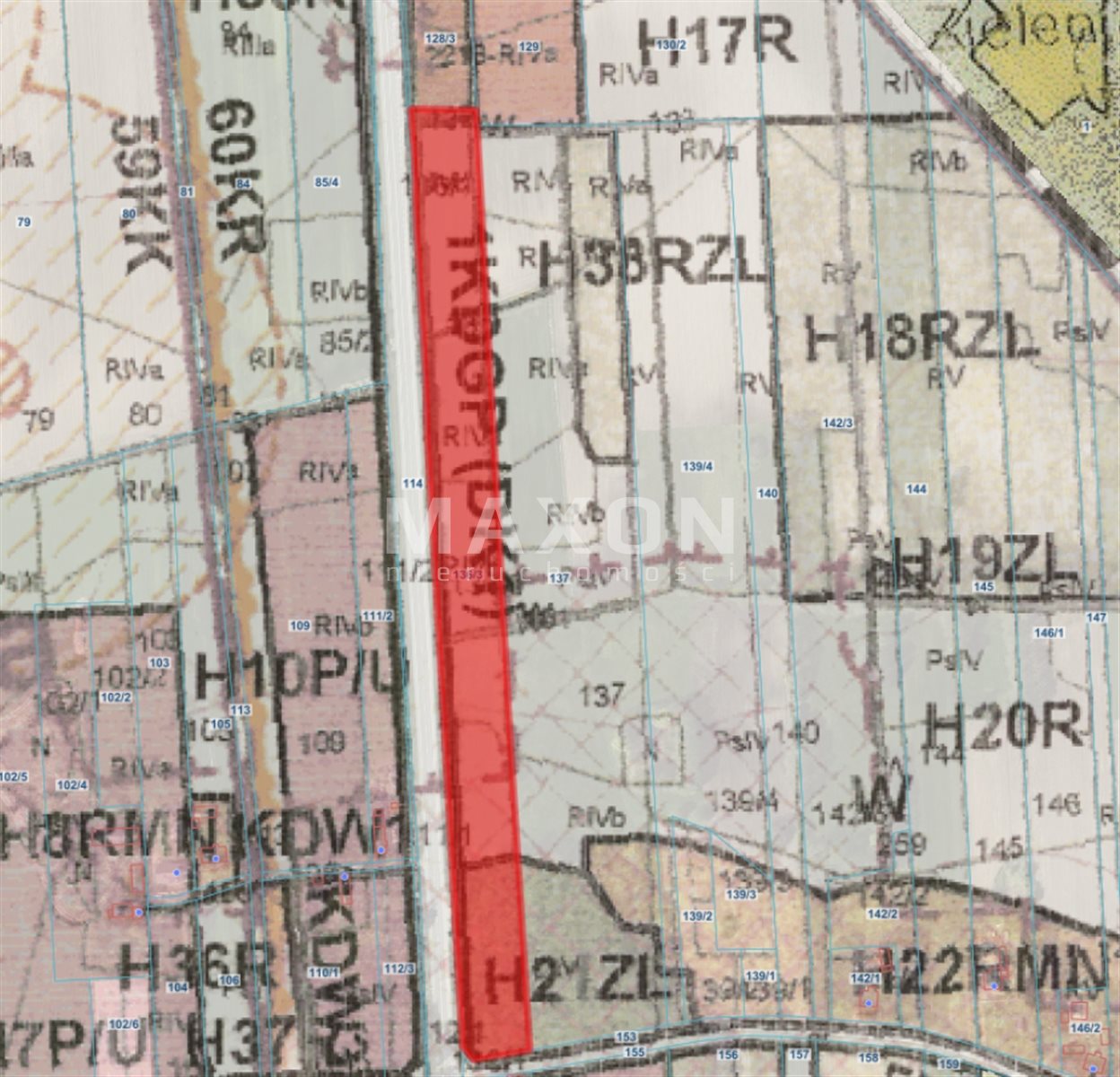
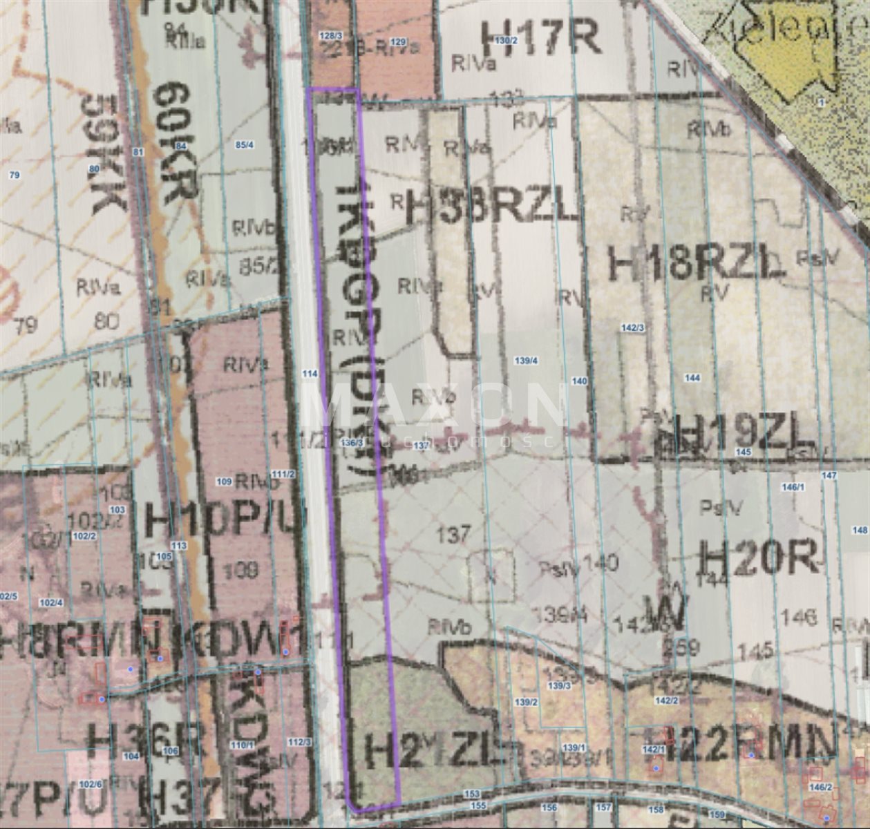
Zoning designation in the Local Land Use Plan – symbol R (agricultural land)
The local zoning plan permits:
✅ Development related to agricultural operations:
residential development,
residential buildings within a farm,
farm buildings and livestock facilities,
warehouses, and agricultural support facilities.
✅ Permitted complementary functions:
technical infrastructure,
water reservoirs,
afforestation (for lower-class soils),
mineral extraction (in accordance with separate regulations).
📏 Development parameters (as per the plan):
- maximum building height: 12 m,
- gable or hipped roofs (15–45°),
- farm buildings may be located on the plot boundary or 1.5 m from it,
- building setback lines from the road apply (min. 4–6 m depending on the road class).
🎯 Investment
potential: The lot is ideal for:
✔ a
farm ✔ a residential estate with production
facilities ✔ agritourism
✔ agricultural operations with residential
use ✔ a long-term investment (agricultural land as collateral)
The large area (over 2 ha) allows for the rational development of the front portion for residential construction, with the remaining portion designated for agricultural activities or land investment.
🔎 Important
Information: The land is not zoned for traditional single-family residential development or real estate development (MN/MW). Construction of a residential building is permitted as part of an agricultural homestead, in accordance with regulations governing agricultural holdings.
Local Spatial Development Plan – Resolution No. XLV/206/2006 of the Daszyn Commune Council dated October 10, 2006.
&16(
a) For agricultural areas, marked on the plan with the symbol R, the plan establishes:
primary use—agricultural areas;
permissible supplementary use:
a) buildings related to agricultural operations, including accompanying structures and facilities, subject to point 4;
b) overhead and underground utility networks and related equipment;
c) water reservoirs;
Permissible uses for agricultural lands on Class V and VI soils:
a) afforestation,
b) mining areas – conditions for the exploration and extraction of minerals in accordance with the provisions of §36, with the obligation to conduct forest or water-based reclamation;
a prohibition on construction on grassland areas, marked on the plan drawing with a graphic symbol;
rules and conditions for development:
a) adherence to the building lines specified in §16, points 5 and 6,
&16(5) the location of new residential buildings and other buildings intended for permanent human habitation must be at a distance from the road boundary line of no less than:
a) Class GP – 40 m,
b) Class Z – 15 m,
c) Class L or D – 6 m,
d) internal roads – 4 m;
&16(6) the designation of building lines that must not be crossed for new structures and structures undergoing expansion located in developed areas, constituting a continuation of the line defined by existing development on the lot or on adjacent lots, but no closer to the edge of the roadway than specified in separate regulations on public roads.
If an existing structure is located at a distance less than that specified in separate regulations, any work on the structure must obtain prior approval from the relevant road authority.
b) the location of the structure as a detached building,
c) the plan permits the construction of buildings along the lot boundary, provided that the width of the existing building lot precludes the construction of detached buildings,
d) the plan permits the placement of farm and livestock buildings within the plot boundary or 1.5 m from the boundary,
f) maximum building height—12.0 m (measured from the existing ground level to the roof ridge).
g) Gable or multi-sloped roofs shall be used, in a style that reflects the fine traditions of rural architecture;
h) in justified cases, the use of single-slope roofs is permitted;
i) the roof slope must be between 15 and 45°, with a uniform slope angle;
For areas located within the boundaries of reclaimed land, as indicated on the plan drawing, the restrictions set forth in §15, points 9–11
, apply. On reclaimed land, it is mandatory to implement, prior to the commencement of earthworks and afforestation, appropriate protective measures or modifications must be implemented to ensure the proper functioning of the system in adjacent areas, in consultation with the user of such facilities and the Provincial Directorate of Land Improvement and Water Facilities in Łódź, as the entity maintaining the registry of specific land improvement facilities;
- The plan establishes the obligation to protect drained lands, which must be used in accordance with their intended purpose;
- In order to ensure the proper functioning of specific drainage facilities and appropriate conditions for surface water intake, the existing network of ditches must be maintained.
Location
Don't hesitate to contact us
Zainteresowała Cię nasza oferta lub szukasz podobnej nieruchomości? Zapraszamy do kontaktu!